SPATIAL SCREENING
TerrainMatch
Find the places worth a closer look.
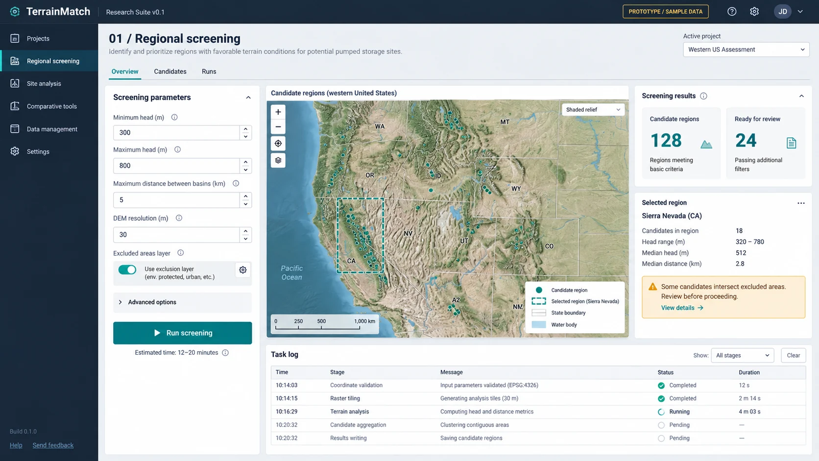
Organize objectives, spatial conditions and relevant layers into repeatable GIS analysis. Narrow the investigation while retaining the rationale for each candidate.
THE RESEARCH QUESTION
Where should the next investigation begin?
From input to research output
WORKFLOW- 01
Define conditions
Turn a broad objective into explicit spatial relationships and constraints.
- 02
Run the analysis
Execute spatial calculations through GIS tools and custom workflows.
- 03
Examine candidates
Review sources and conditions to decide which objects merit further work.
RESEARCH INPUT
- Terrain and elevation data
- Research objectives and screening conditions
- Relevant spatial layers and constraints
RESEARCH OUTPUT
- Candidate research objects
- Screening rationale
- Conditions requiring further investigation
Using the results
A candidate is not a conclusion. Screening makes the reason for further investigation explicit.
View the interface illustration
RESEARCH BOUNDARY
Coverage, resolution and input conditions affect the results. Candidate locations still require field investigation and specialist verification.
Take a candidate forward by comparing alternative research assumptions.ReservoirLab